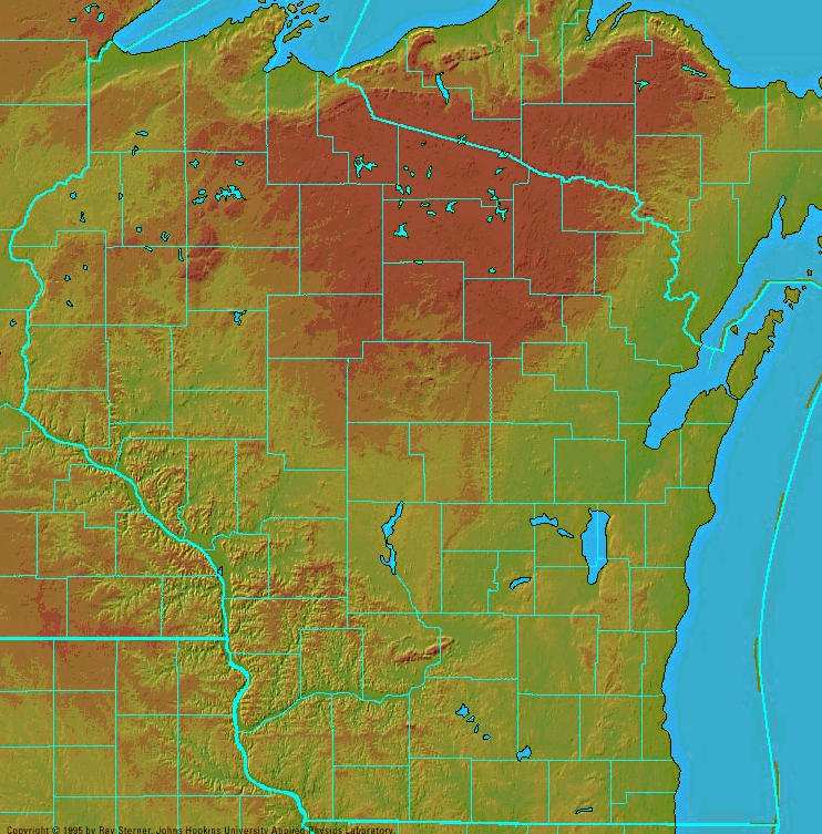
Below is a shaded relief map of the state of Wisconsin, with the county political boundaries delineated in blue. Notice the darker brown area to the northeast. This is the Northern Highlands Region, made up largely of glacial sediments. An example of a satellite image of the state of Wisconsin is available here.
Image from Wisconline.
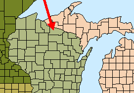
Vilas County is indicated here by the red arrow. The image is from the North Temperate Lakes Long Term Ecological Research program. For more information and web links on the region and the research done there by the USGS and the University of Wisconsin, visit their website.
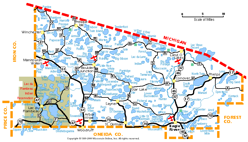
Below is a figurative lake map of Vilas county, obtained from the Wisconline county pages. Trout Lake is located just west of center.
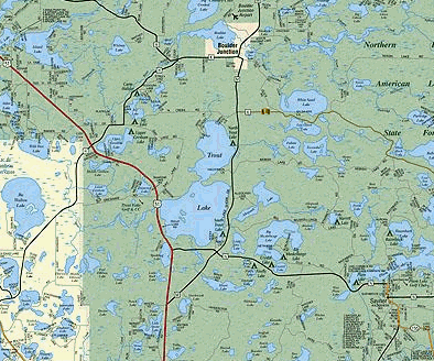
Below is a map of the Trout Lake Basin, centered on Trout Lake. Notice the numerous lakes and wetlands. This map is made availbale by the Minocqua/Arbor Vitae Chamber of Commerce.
Back to Lake Characterization
Last Modified: May 8, 2002